
1.3A / Jan 17, 2020


Description
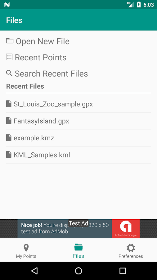
App Information My Waypoints - KML KMZ GPX Rea
- App NameMy Waypoints - KML KMZ GPX Rea
- Package Namecom.ntonapps.mypoints
- UpdatedJan 17, 2020
- File SizeUndefined
- Requires AndroidAndroid 5.0
- Version1.3A
- Developern:n apps
- Installs10K+
- PriceFree
- Categoryflag</i>Flag as inappropriate</a></div></section></div></div><div class="o45e4d"><c-wiz jsrenderer="Grlxwe" jsshadow jsdata="deferred-i18" data-p="%[email protected],true]" data-node-index="5;0" autoupdate jsmodel="hc6Ubd" c-wiz><section class="HcyOxe" jscontroller="NkbkFd"><header class=""><div class="VMq4uf" id="developer-contacts-heading"><div class="EaMWib"><h2 class="XfZNbf">Developer contact</h2></div><div jsaction="JIbuQc:Ptdedd"><button class="VfPpkd-Bz112c-LgbsSe yHy1rc eT1oJ mN1ivc VxpoF" jscontroller="soHxf" jsaction="click:cOuCgd; mousedown:UX7yZ; mouseup:lbsD7e; mouseenter:tfO1Yc; mouseleave:JywGue; touchstart:p6p2H; touchmove:FwuNnf; touchend:yfqBxc; touchcancel:JMtRjd; focus:AHmuwe; blur:O22p3e; contextmenu:mg9Pef;mlnRJb:fLiPzd;" data-disable-idom="true" aria-label="Expand" aria-controls="developer-contacts" aria-expanded="false"><div jsname="s3Eaab" class="VfPpkd-Bz112c-Jh9lGc"></div><div class="VfPpkd-Bz112c-J1Ukfc-LhBDec"></div><i class="google-material-icons VfPpkd-kBDsod W7A5Qb" aria-hidden="true">expand_more</i></button></div></div></header><div class="SfzRHd jqSImf" role="region" id="developer-contacts" aria-labelledby="developer-contacts-heading"><div class="vfQhrf BxIr0d"><div class="VfPpkd-WsjYwc VfPpkd-WsjYwc-OWXEXe-INsAgc KC1dQ Usd1Ac AaN0Dd VVmwY"><div class="VfPpkd-EScbFb-JIbuQc" jscontroller="tKHFxf" jsaction="click:cOuCgd; mousedown:UX7yZ; mouseup:lbsD7e; mouseenter:tfO1Yc; mouseleave:JywGue; touchstart:p6p2H; touchmove:FwuNnf; touchend:yfqBxc; touchcancel:JMtRjd; focus:AHmuwe; blur:O22p3e; contextmenu:mg9Pef;"><a class="Si6A0c RrSxVb" target="_blank" href="https://ntonapps.com"><i class="google-material-icons j25Vu" aria-hidden="true">language</i><div class="pZ8Djf"><div class="xFVDSb">Website</div><div class="pSEeg">https://ntonapps.com</div></div></a><div class="VfPpkd-FJ5hab"></div></div><span class="VfPpkd-BFbNVe-bF1uUb NZp2ef" aria-hidden="true">
- Developer3212 80th St Lubbock, TX 79423
- Google Play Link
n:n apps Show More...


")

Similar Apps Show More...


CartoDruid - GIS offline tool 0.60.16 APK
CartoDruid is a GIS application developed by Instituto TecnológicoAgrario de Castilla y León (ITACyL) thought as a tool to supportthe fieldwork aiming to solve the problem of disconnected editingof georeferenced information. In many field areas, mobile coverageis insufficient to work in a reliable way. CartoDruid provides asolution to this problem allowing the visualization on raster andvectorial layers stored on the device and allowing the creation ofnew geometries (entities), drawing them directly on the screen orusing embeded or external GPS. CartoDruid doesn't requiere previousGIS (Geographic Information Systems) knowledge and it's easy toconfigure and use. This allows any person to use it to managefieldwork information and then export generated data to use them inexternal applications. What can CartoDruid do?: - Visualize onlineGoogle Maps. - Use vectorial cartography loaded on a SpatiaLitedatabase. - USe rasterimaginery loaded on a RasterLite database. -Consume online WMS services. - Create new layers on the device. -Configure filtering on vectorial layers to determine visiblegeometries based on their attributes. - Configure symbologies andlabels based on SQL expressions (easily). - Configure searches onlayers using SQL queries. - Configure identification forms based onSQL queries. - Edit the attributes of a geometry. - Manually drawgeometries: points, lines and polygons. - Draw and edit geometriesbased on GPS data. - Edit geometries using several useful tools:split using polyline, circular split, merge geometries, multipartexplosion. Graphically move existing vertices of geometries. -Create new geometries intersecting layers. - Automatically savegeorreferenced data: creating and update dates and others. -Associate pictures to entities. - SIGPAC search based on existingdownloaded data. - Length and area measurement tools, defining themeasurement units. - Guided and line based navigation to help theuser reach her destination. - Manage bookmarks. - Import vectorialdata using CSV files. - Import SpatiaLite databases. - Exportseveral formats: SQLite, KML and CSV. - TOC (Table of Contents)management: sorting, symbologies, hierarchical sorting (folders). -Works with SHP (ESRI ShapeFile) as an exprimental feature. -Controlling the operations that can be performed on a layer viaconfiguration (overlaps. move vertices. delete entities,identification and edition, ...) Go visit www.cartodruid.es to seethe complete list, download examples and learn how to start!


Shapefile over Map APK
Load your own shapefiles with this GeographicInformation System (GIS) directly from the sdcard of your mobiledevice and visualize them over a map. You can also edit the valuesof its dbf table and use it in offline mode, loading maps from yourmemory card.With this GIS application, you can select and load a shp file orload an entire folder automatically.You can select one of these shp files and mark it as the activelayer and if you use a long press over one of them you can changeits coordinate system, its color or make it invisible.The map will display a series of icons, belonging to each of therecords in the active layer, which when pressed will allow you toview and edit information from its corresponding attributetable.The application also allows you to view your current position viaGPS and center the map on it.You can choose between several online map servers.Support for all UTM Projections (WGS84, SAD69 and NAD83)The .prj file is readed and the coordinate system is automaticallyassigned.Now you can save your sessions (a configured shapefile list).Now also includes a tool to measure distances, areas andperimeters.New tool to search shapes by dbf field valueNew functionality to add and delete dbf fieldsNew functionality to add WMS serversA Quick Help has been addedNew drawing system. Now move the map is fasterMore memory available to load larger shapefiles(only in Androidversions 3.0 or later)New layers administration systemNew tool to load the last sessionNew auto zoom tool to the active layerNew Settings option to change measure units, GPS update time andcharacter codificationsTo use a map in offline mode, simply download it previously (forexample using Mobile Atlas Creator (using OsmAnd tile storageformat)). You must copy the map to the folder you have set onsettings and it should be in the formatMAPNAME/ZOOM/X/Y.png.tile