
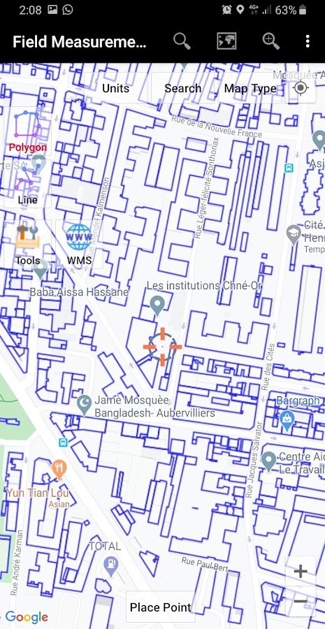
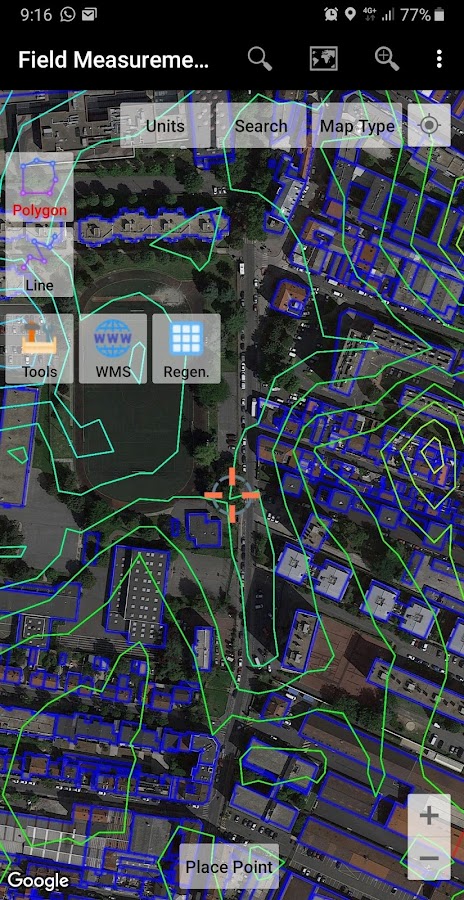
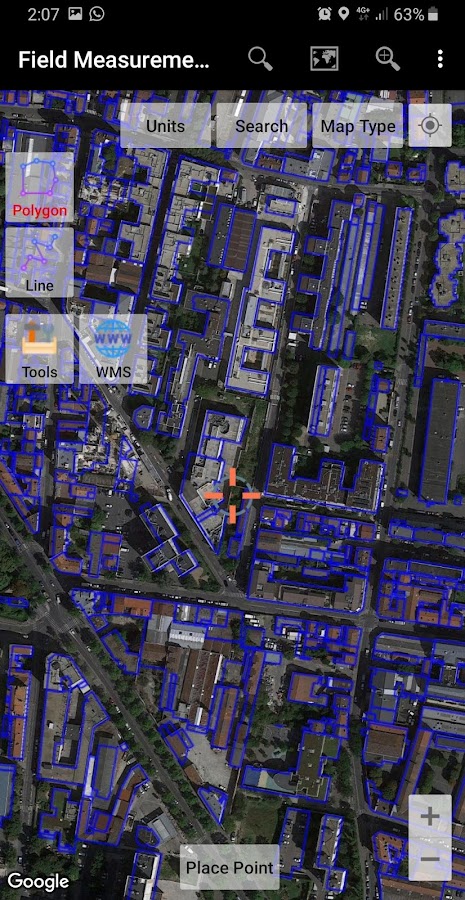

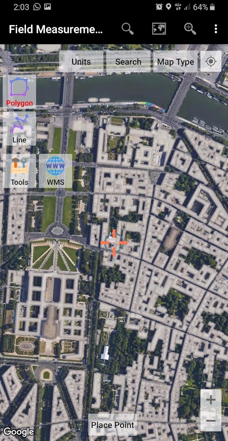


Description
App Information UTM Measure
- App NameUTM Measure
- Package Namecom.yogantara.measure
- UpdatedSep 13, 2023
- File SizeUndefined
- Requires AndroidAndroid 6.0
- Version1.6.2
- DeveloperY2 Tech
- Installs10K+
- PriceFree
- Categoryinfo_outline</i></button></div>
- DeveloperPesona Bali Residence E4 No. 2 Bandung 40288 Indonesia
- Google Play Link


Similar Apps Show More...


Locus GIS - offline geodata collecting, SHP edits 1.10.1 APK
Professional GIS application for offline fieldwork with geodata. Itprovides data collection, viewing, and updating. All its featuresare available above a wide selection of online, offline, and WMSmaps. Fieldwork • offline collecting and updating of field data •saving points with current or arbitrary position • creating linesand polygons by motion recording • settings of attributes • photos,video/audio or drawings as attachments • guidance to pointsImport/Export • importing and editing ESRI SHP files • exportingdata to ESRI SHP or CSV files • exporting whole projects to QGISMaps • wide range of maps both for online use and for download •support of WMS sources • support of offline maps in MBTiles,SQLite, MapsForge, TAR, GEMF, RMAP formats, and customOpenStreetMap data or map themes Tools and features • measuringdistances and areas • searching and filtering of data in theattribute table • style editing and text labels • organizing datainto layers and projects Locus GIS is successfully used in a widerange of industries: • collection of environmental data (ecologicalscanning, tree surveys ...) • forestry management and planning, •agriculture and soil management • gas and energy distribution •planning and construction of wind farms • exploration of miningfields and location of wells • survey and management of urbanfacilities • road constructions and maintenance


QField for QGIS - EXPERIMENTAL 1.9.3 APK
QField focuses on efficiently getting GISfield work done.The mobile GIS app from OPENGIS.ch combines a minimal design withsophisticated technology to get data from the field to the officein a comfortable and easy way.QField unleashes the full power of the QGIS styling engine to bringyour customized maps to the field, collect attributes for featureswith configured edit widgets like value lists, checkboxes, freetext or pictures taken with the device camera.QField is an open source project, the documentation, much moreinformation, the source code and possibilities to to support theproject can be found at qfield.org (preferred) or by buying theQField for QGIS Karma edition app(http://qfield.opengis.ch/karma).QField is built from ground up to be touch oriented and easy to useoutside.It is based on a few paradigms● GPS centric● QGIS desktop compatible● Fully working when offline● Synchronization capabilities● Project preparation on desktop● Few and large buttons● Mode based work (Display, Digitizing, Measuring,Inspection,...)QField is built using Qt5, QtQuick 2 (both are supported andsuggested by Qt) and OpenGL so it is future proof and it spearheadsQGIS towards Qt5.OPENGIS.ch is happy to help you with the implementation of missingfeatures. Contact us at http://www.opengis.ch/contact/For bug reports please file an issue athttps://github.com/opengisch/QField/issues


