


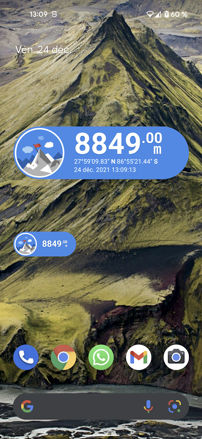
Description
App Information Altimeter
- App NameAltimeter
- Package Namefr.avianey.altimeter
- UpdatedMay 31, 2023
- File SizeUndefined
- Requires AndroidAndroid 5.0
- Version4.1.4
- DeveloperPixelProse SARL
- Installs500K+
- PriceFree
- Categoryinfo_outline</i></button></div>
- Developer466 route de Ferrières 74350 Cuvat France
- Google Play Link
Altimeter Version History
Select Altimeter Version :-
Altimeter 3.4.4 APK File
Publish Date: 2022 /10/16Requires Android: Android 4.4+ (KitKat, API: 19)File Size: 11.7 MBTested on: Android 13 (Tiramisu, API: 33)File Sha1: 47ba0bcdf3e6903863ec87e7666b3b4df4d6550b
PixelProse SARL Show More...


Compass 5.0.6 APK
A magnetic compass with magnetic declination correction for bestaccuracy. A compass is an instrument used for navigation andorientation that shows direction relative to the geographic North.Geographic North is computed given the magnetic North and themagnetic declination at your current location. In some placesaround the world, the magnetic North can be as far as 20 degreesfrom the geographic North. ● Use of GPS or Network location forbest accuracy ● Magnetic declination correction ● True altitudeabove sea level ● Altimeter ● Elevation computation use EGM-96model ● Supports multiple coordinate formats UTM, DD, DMM, or DMS ●Show Latitude and Longitude ● Sunrise and Sunset times ● Easycalibration ● Show angle in degrees ● Clean design ● Install on SD● Save places for tracking them ● Create multiple lists offavourite places ● Show shorted path to a place ● Search new placesby name or address ● Qibla Compass (find direction of the Kaaba inMecca) Place tracking allow you to save your current location forlater find its direction from anywhere else in the world! Noteregarding horizontal accuracy: The device location has anhorizontal accuracy that depends on the quality of the GPS signal.The smaller the horizontal accuracy is, the better the location isaccurate. In some cases, the horizontal accuracy can be so big thatother information can be inaccurate : altitude, distance anddirection to a place that is very close to you. Refreshing thelocation after a few second can give you a better horizontalaccuracy. Note regarding device calibration : Smartphones usemagnetic and orientation sensor in order to compute the directionof the magnetic North. Sensor might be in an unknown state when theapplication is started. Sensors requires a lot of values to reachoptimal accuracy and precision. To do so, move your phone in spacein a ∞ figure pattern until the accuracy turns to high. Thisapplication requires permissions in order to compute your locationand the magnetic declination for a better accuracy of this compassand to provide you with further information such as true north,true altitude above sea level, direction and distance to any placein the world.
Similar Apps Show More...

Accurate Altimeter 2.2.32 APK
The most downloaded Altimeter on the PlayStore is now updated with a new interface and new features!- Altitude estimation with three different methods to be alwayssure to get a reliable measure, even without internetconnection.- Historical charts to see your excursions elevation gain.- Map with your elevation and contour lines.- Pictures with impressed place name and altitude.Altitude can be estimated:- With satellites triangulation. Slow and less accurate but itworks even with no internet connection.- Taking the ground elevation at your current position from aninternet web service.- Using the pressure sensor of your device (if available). Itcalibrates itself on pressure from the nearest weather station toimprove accuracy.As additional PRO features you can also:- compensate systematic error of pressure sensor- record altitude without opening the App- remove advertising


Altimeter & Altitude Widget 4.57 APK
DS Altimeter is an elevation meter, elevationlogger, and altitude mapper. In addition to showing and optionallytracking your altitude, the app allows you to search the altitudefor other locations as well.You can select from the best sources of elevation data,including:1. Location based altitude from NASA's Shuttle Radar TopographyMission2. Satellite based altitude (GPS altitude) corrected to heightabove mean sea level (AMSL)3. Get actual land survey altitude values for your location fromthe United States Geologic SurveyDevices equipped with a barometer sensor can also obtain pressurealtitude which is converted to true altitude. For the most precisereadings, calibrate the pressure altitude by entering a referencevalue or by selecting one from the app's dynamic list of nearestairfields.USGS (United States Geologic Survey) altitude results are alsoavailable for customers in the contiguous United States, Canada andMexico.DS Altimeter also works offline: barometric altitude and GPSaltitude corrected to elevation above sea level do not require aninternet connection.NEW IN DS ALTIMETER: Record altitude profiles and elevation tracksfor your favorite journeys to the highlands, the lowlands andeverything in-between!Upgrade the application to pro and gain access to even morefeatures including the Altimeter Widget and variousbarometric altimeter calibration methods.Going skiing? Record your ski run with DS Altimeter, then view yourski trail with its elevation points on the included maps. Mininumand maximum altitude points for your run will be clearlyshown.Altitude mapping, altitude search and bathymetry (lake and seadepths) are also included with DS Altimeter. Tap anywhere on a mapto get the altitude or water depth at that location.* The perfect altimeter for skiing, hiking, mountain climbing andother outdoor sports, boating, marine navigation and anytime youare curious about your elevation!


