
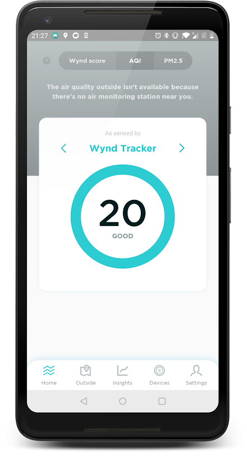

Description
App Information Wynd
- App NameWynd
- Package Namecom.hellowynd.wynd
- UpdatedAug 24, 2023
- File SizeUndefined
- Requires AndroidAndroid 6.0
- Version1.00.223
- DeveloperWynd Technologies, Inc.
- Installs10K+
- PriceFree
- Categoryinfo_outline</i></button></div>
- Developer
- Google Play Link


Similar Apps Show More...


")


Plume Labs: Air Quality App APK
What's the air quality forecast for today? When’s the best timetogo for a run? Oh, and what are the pollution levels like in mynextholiday destination? Plume Labs gives you real-timepollutionlevels in your area, and around the globe. Getlivestreet-by-street pollution maps for the world’s major urbanareas,and detailed information about how air quality will evolveover thenext 72 hours—just like a weather forecast. Looking for theFlowpersonal pollution sensor app? Search for ‘Flow by PlumeLabs’.It’s air pollution information you can act on—73% of oursurveyedusers say Plume Labs helped them make changes in theirdaily habitsto breathe cleaner air, no matter where they were! ThePlume Labs’Air Quality App works all over the world. Our top teamof data andatmospheric scientists has built a worldwide airqualityforecasting system using a wide variety of data sources.Thisincludes satellite imagery, atmospheric simulations, trafficandemissions datasets, all coming together to give you themostaccurate air quality info out there. We’ve got you coveredwhereveryou go in the world. KEY FEATURES DETAILED MAPS:Live,street-by-street air quality maps give you detailedinformationabout pollution levels on each street, in real time!Find the bestroute to work, pick the cleanest parks for aplaydate—it’s allthere in a stunning, easy-to-read map. LIVE,HISTORICAL, ANDFORECAST DATA: Plume Labs gives you real-time,city-by-city datafor the most important pollutants - NO2, PM2.5,PM10, and O3. Lookahead with a 72 hour forecast. Analyze the pastwith up to 6 monthsof historical data! HYPER-LOCAL INFO:Street-level pollutioninformation is at your fingertips—pick yourplaces, get theforecasts, drill into the maps! Studies have shownthat access tothis type of air pollution information can help youreduce yourexposure by up to 50%. CLEAN-AIR COACHING: Plume Labsgives youtips and tricks for finding clean air while running,cycling,having fun at the playground, and eating outdoors. Yourclean-aircoach will keep you up-to-date with just the rightnotifications.Morning Report: 7AM overview of the current dayEvening Report: 7PMforecast of the day to come Smart Notifications:Intelligent alertswarn you of pollution peaks and tell you when theair is clean. OURUSERS LOVE IT! Awesome app! A must have if youcare about yourhealth and city. Great app one of a kind. Airquality monitoringapp in a class of its own It helps a lot to knowwhen pollution ishigh. I always have medical breathing issues thatI need to becareful of. Thanks for the help! PLUME LABS’ APP IN THEPRESSHuffingtonPost: "Beat the pollution with the Plume Airapp."Evening Standard: "This pollution app tells you when it's'safest'to go outside." TechCrunch: "A pragmatic approach to airpollution.Strikes the right balance between providing insightfulinformationabout air pollution and not being too complicated."WHAT’S NEWPlume Air Report went through a total overhaul. Beyondthe namechange, we added various new features to the app. What madethesuccess of Air Report haven’t moved. Here is what’s new: Checkoutthe updated design and streamlined interface. Our team haspulledout all the stops to bring you a new look that adds newfeaturesand leaves room for more! Slide along the beautiful newtimeline tosee historical data. Color-coding gives an at-a-glanceoverview ofthe situation. Get pollutant breakdowns, hourly, daily,monthlyinfo, annual averages, and worst day/best day comparisons.Addcities to your feed and compare air quality around the world.Ouruniversal Air Quality Index lets you quickly see how theairmeasures up. Prefer measurements in a local AQI? It’s easytoadjust your settings in-app.

AirMate 1.7.1 APK
Airmate is a free and easy to use application for pilots, providinghelp for flight planning and navigation, and including many socialsharing features. Thanks to Airmate flight planning tools, you willget instant access to airport data and aviation maps worldwide andup to date weather and NOTAMs. IFR and VFR airport plates arefreely available in US (FAA charts), all Europe, and more than 200other countries. Many of them are georeferenced and could beoverlaid on the aviation chart. A powerful Plate Manager allows todownload in advance all airport plates in a country, they could beeasily printed and viewed. During the flight, the moving map willdisplay the aircraft location along the route, show airports andaeronautical data details. A profile view is available to displayterrain elevation across the route. Airmate includes a worldwideaeronautical database updated free of charge with airports,navigation beacons, waypoints, airways, regulated and restrictedareas. Topographic maps and elevation data for most countries maybe downloaded free of charge, as well as additional aviation mapoverlays such US Sectionals. Airmate will also record your flightsand allow to replay them later or export the flight path in gpxformat. A Satellite map display mode in flight planning or replaymode allows to familiarize with significant landmarks. Airmate willsave planned and flown flights, user waypoints and user aircraftsin the cloud and sync them between your devices. Airmate bringsnumerous social features to the community. Pilots may leaveratings, tips and comments to share their experience with fellowpilots, and report fuel prices and landing fees. They could findfriends, instructors, flight schools, aviation events and aircraftto rent near their home airport or any visited airport.


