


Description
App Information ArcGIS Field Maps
- App NameArcGIS Field Maps
- Package Namecom.esri.fieldmaps
- UpdatedJan 8, 2024
- File SizeUndefined
- Requires AndroidAndroid 8.0
- Version24.0.1
- DeveloperEsri
- Installs500K+
- PriceFree
- Categoryinfo_outline</i></button></div>
- Developer
- Google Play Link
ArcGIS Field Maps Version History
Select ArcGIS Field Maps Version :-
ArcGIS Field Maps 23.1.1 APK File
Publish Date: 2023 /2/26Requires Android: Android 8.0+ (Oreo, API: 26)File Size: 75.4 MBTested on: Android 13 (Tiramisu, API: 33)File Sha1: 3d2738bd12bcfbf41b6b59e3f3ab274106d13ef3 -
ArcGIS Field Maps 22.3.0 APK File
Publish Date: 2022 /8/16Requires Android: Android 8.0+ (Oreo, API: 26)File Size: 74.0 MBTested on: Android 12 (Snow Cone, API: 31)File Sha1: 78c2506e76fe2b7d2da78cb85f50fa4214cefcb2
Esri Show More...

ArcGIS 10.1.2 APK
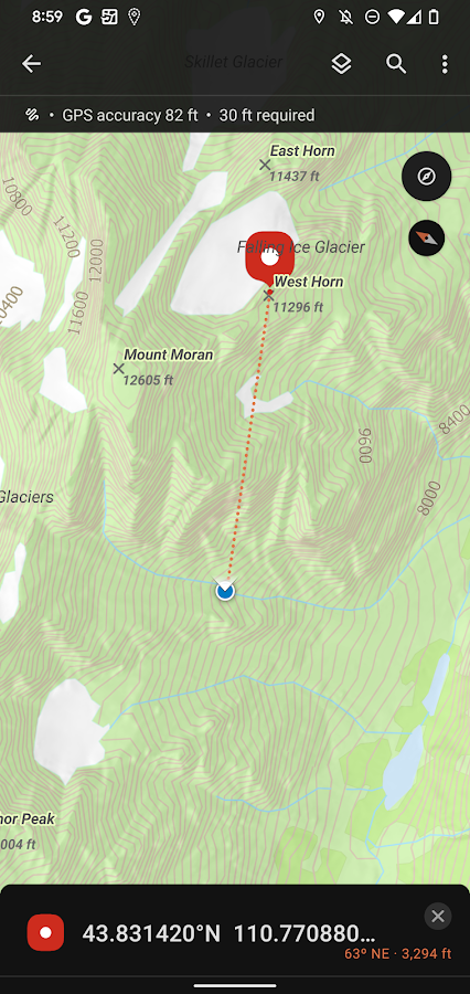
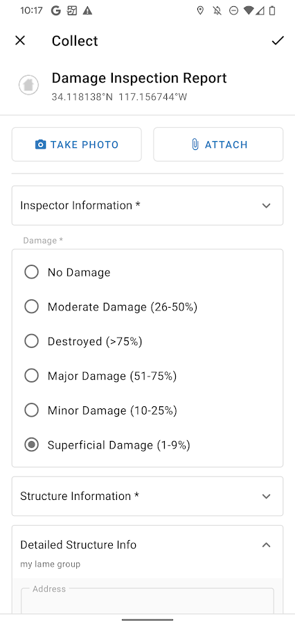
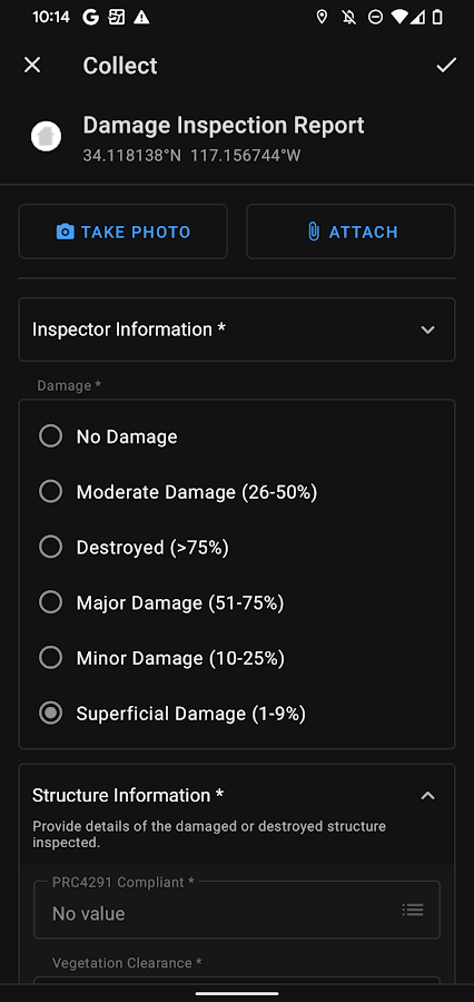
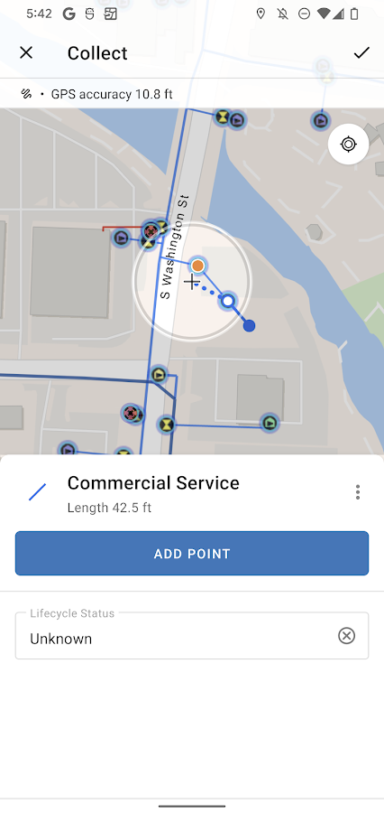
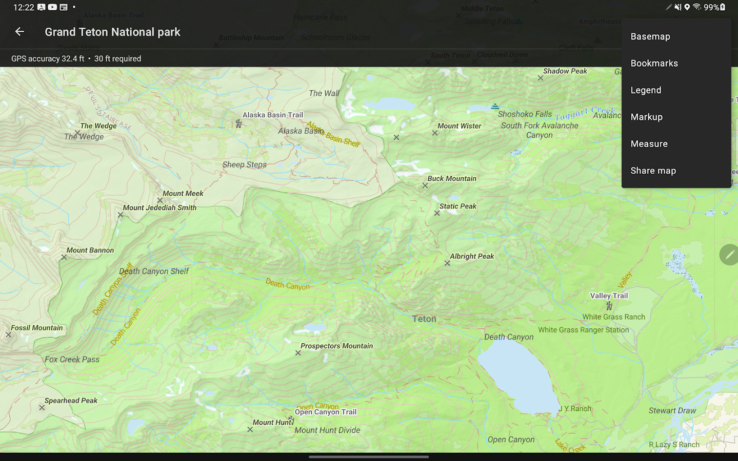
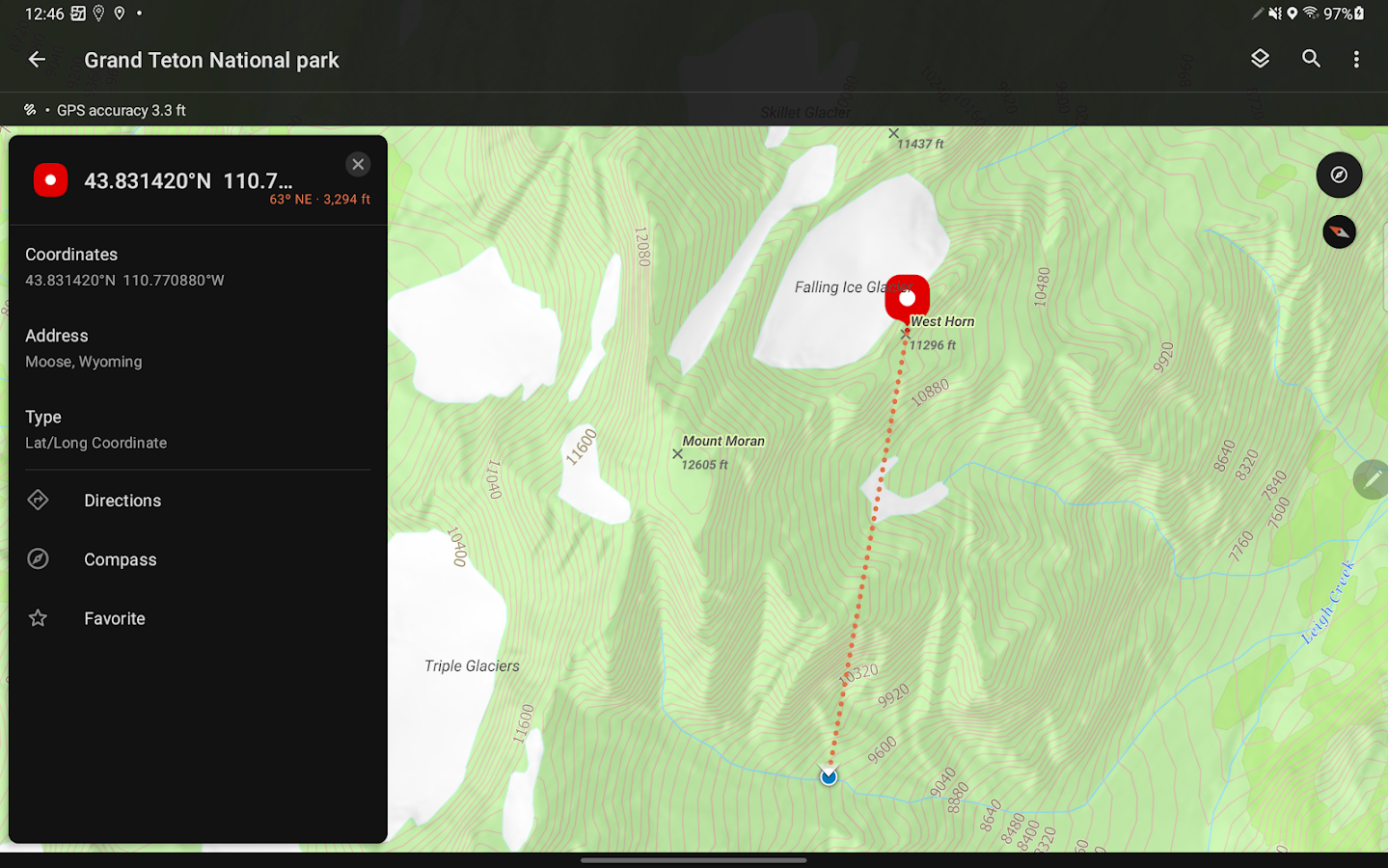
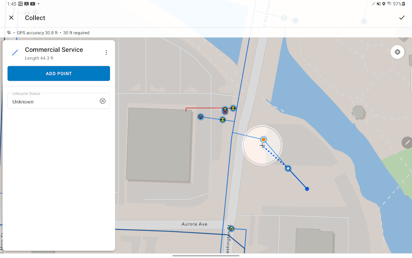
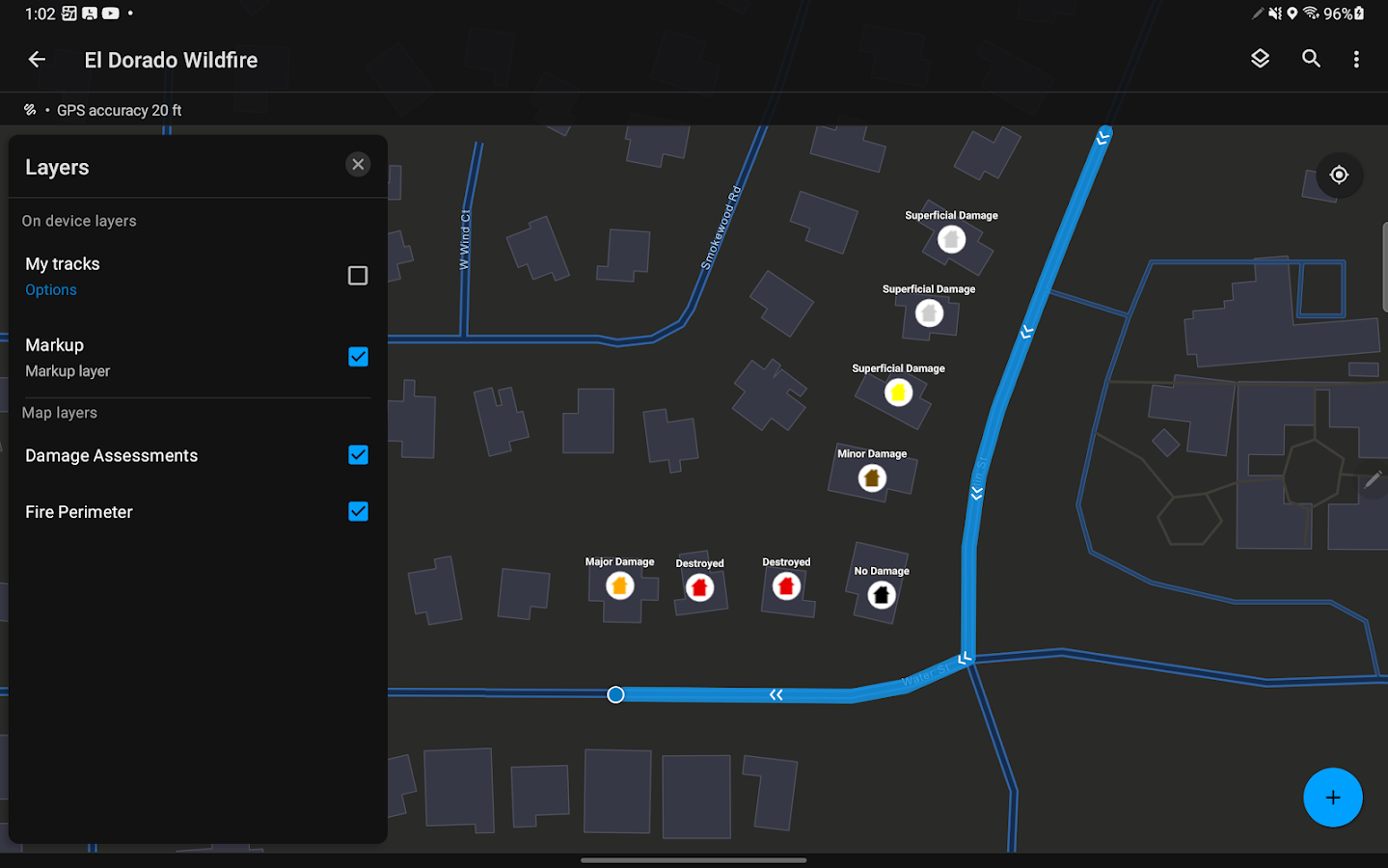
ArcGIS is a great way to discover and use maps. Maps come to lifein ArcGIS. Tap on the map or use your current location and discoverinformation about what you see. You can query the map, search andfind interesting information, measure distances and areas ofinterest and share maps with others.Find community hosted maps from ArcGIS Online – Esri’s onlineGIS. Alternatively you can use the authoring tools on ArcGIS.com tocreate your own maps that can be used in ArcGIS.If you are an existing Esri customer this application is part ofyour ArcGIS system. You can share your corporate maps and extendthe reach of your GIS to your Android devices within yourenterprise using ArcGIS Server.Features- Navigate map galleries in just a few taps- Use maps authored in ArcGIS.com- Access your own GIS data- Display and zoom to current location- Data Collection and Editing* Use your GPS or the map to collect and update GIS data* Attach photos to what you collect* Intelligent form-based data entry driven by ArcGIS datamodels* Includes a set of hosted industry specific collection sample mapsso you can test drive these capabilities. Look for them inside ofthe new Gallery entry on the Find Maps tab.- Magnify your Identify and Editing experience* When interacting with the map, tap and hold to accurately locatea position on the map using a Magnifier- Perform linear and area measurements based on your currentlocation or by interacting with the map.- Retrieve detailed map metadata- View feature attribute information- Perform keyword search and get access to relevantinformation- Change the visibility of layers- Access popular maps faster by adding them to your favoriteslist

Survey123 for ArcGIS 3.13.234 APK
Survey123 for ArcGIS is a simple form-centricdata collection GIS app. Using your ArcGIS organizational accountyou will be able to login into the app and download any forms thatmay have been shared with you. Once a form is downloaded, you willbe able to start collecting data. If working offline, yourcompleted forms will be saved locally. When connected, you cansubmit the data back to ArcGIS.Features:• Easy to use: The app has a simple workflow. Download your forms,fill them out, and submit. Not much to explain so you can getproductive immediately.• Smart forms: Survey123 for ArcGIS supports sophisticated formswith advanced types, validation rules and skip logic. This makes iteasier for you to collect data with it. Quicker, easier,faster.• Built for ArcGIS: As you submit your data, we make it immediatelyavailable for analysis and visualization. No data translation orcopies are necessary. Whatever you contribute from the field isinstantly useful.• ArcGIS identity: The identity you use when logged into the appgives you access to the just the forms that have been shared withyou. Using your ArcGIS identity keeps transactions secure and evenlets your organization track the work you do.

Snap2Map 1.0.6 APK
Ready to create a Map Tour directly from thephotos on your device? You got it!Snap2Map is a native android application built by the Esri Labs forArcGIS Organizational users to upload photos directly from theirphone or tablet to create an beautiful interactive Map Tour andshare it.Snap2Map uses geo-tag information from the device photos ifavailable and allow you to add/modify location information for thephotos selected. You can also add captions and descriptions to eachphoto and upload to create a fully interactive Map Tour webapplication with just a few simple steps. The app and photosuploaded are hosted in your ArcGIS Organization.You must be part of ArcGIS Organization and login as "Publisher" or"Administrator" role to create new Map Tours or use the freeDeveloper Account. This app itself will not consume credits but youmight be charged credits for storage of photos.About Esri Labs :Snap2Map is an app created by Esri Labs. Esri Labs apps aredeveloped by esri employees and are inspired by our directinteractions with you -- our customers. Esri Labs apps are free touse but are not official Esri products, so they are notholistically tested, documented or supported by Esri technicalsupport.


Similar Apps Show More...


Shapefile over Map APK
Load your own shapefiles with this GeographicInformation System (GIS) directly from the sdcard of your mobiledevice and visualize them over a map. You can also edit the valuesof its dbf table and use it in offline mode, loading maps from yourmemory card.With this GIS application, you can select and load a shp file orload an entire folder automatically.You can select one of these shp files and mark it as the activelayer and if you use a long press over one of them you can changeits coordinate system, its color or make it invisible.The map will display a series of icons, belonging to each of therecords in the active layer, which when pressed will allow you toview and edit information from its corresponding attributetable.The application also allows you to view your current position viaGPS and center the map on it.You can choose between several online map servers.Support for all UTM Projections (WGS84, SAD69 and NAD83)The .prj file is readed and the coordinate system is automaticallyassigned.Now you can save your sessions (a configured shapefile list).Now also includes a tool to measure distances, areas andperimeters.New tool to search shapes by dbf field valueNew functionality to add and delete dbf fieldsNew functionality to add WMS serversA Quick Help has been addedNew drawing system. Now move the map is fasterMore memory available to load larger shapefiles(only in Androidversions 3.0 or later)New layers administration systemNew tool to load the last sessionNew auto zoom tool to the active layerNew Settings option to change measure units, GPS update time andcharacter codificationsTo use a map in offline mode, simply download it previously (forexample using Mobile Atlas Creator (using OsmAnd tile storageformat)). You must copy the map to the folder you have set onsettings and it should be in the formatMAPNAME/ZOOM/X/Y.png.tile


ArcGIS AppStudio Player 5.1.18 APK
AppStudio Player lets you instantly view mappingapplicationscreated with ArcGIS AppStudio. It offers you a greatway to quicklytest your own creations before you build anddistribute them. Toget started: 1. Install the AppStudio for ArcGISPlayer app 2. Openand sign in with your ArcGIS Organizationalcredentials. 3. Select,download and test the mapping applicationsyou have created.


