hourglass_full Your download should start automatically in a few seconds...

Download 地図ダウンロードアプリ 2015年版_Latest Version.apk from Apk-Dl Server
Thank you for using Apk-Dl.com to download the apk file (地図ダウンロードアプリ 2015年版_Latest Version.apk),
If the download doesn't start automatically in a few seconds, please click here to access the download URL directly.
Note: Download and save the apk file to your Android Phone's SD card and install it manually onto the Android device.


Description
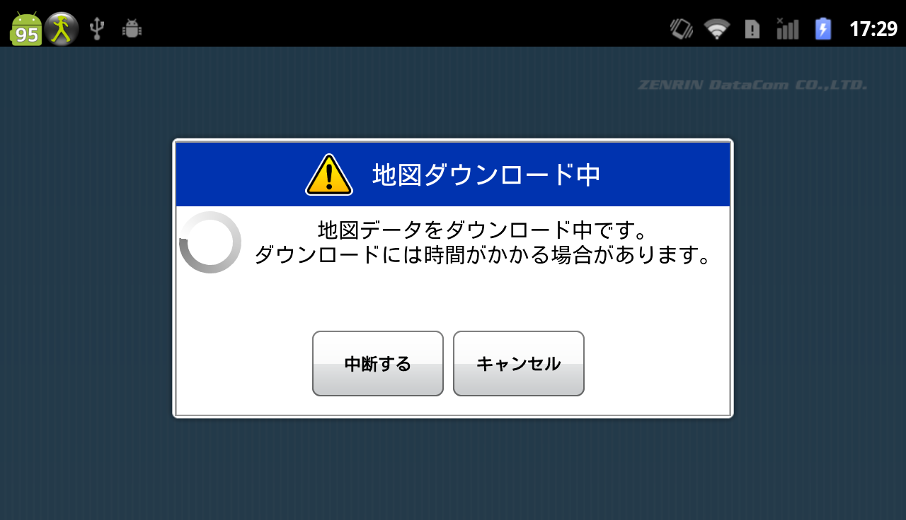
本アプリは、地図ダウンロード型カーナビアプリ「いつもNAVI[ドライブ]2013年度版」、および2011年発売の「いつもNAVI[ドライブ]」ご利用者の専用アプリケーションです。
「いつもNAVI[ドライブ]2015年度版」、または3D地図の「いつもNAVI[ドライブ]」をご利用の方は、本アプリをご購入しないでください。
地図ダウンロードアプリは、「いつもNAVI[ドライブ]2013年度版」、および2011年発売の「いつもNAVI[ドライブ]」ご購入者様向けに地図のアップデートをご提供します。
ご利用いただく場合、「いつもNAVI[ドライブ]2013年度版」、および2011年発売の「いつもNAVI[ドライブ]」を最新版にアップデートしていただく必要があります。
「いつもNAVI[ドライブ]2013年度版」および、「いつもNAVI[ドライブ](2011年発売)」のアップデートは以下のページから確認できます。
2013年度版:https://play.google.com/store/apps/details?id=net.zmap.android.pnd.c25
2011年発売:https://play.google.com/store/apps/details?id=net.zmap.android.pnd.c2
▼重要事項
本サービスは、「いつもNAVI[ドライブ]」利用規約に基づき提供されます。事前に利用規約の内容を確認のうえ、ご利用下さい。
利用規約は以下のページから確認できます。
http://www.its-mo.com/stc/help_pnd/index.html
▼地図について
・この地図の作成に当たっては、国土地理院長の承認を得て、同院発行の50万分の1地方図及び2万5千分の1地形図を使用を使用しています。(承認番号:平26情使、第244-B111号)
・2012一般財団法人日本デジタル道路地図協会
この地図の作成に当たっては、一般財団法人日本デジタル道路地図協会発行の全国デジタル道路地図データベースを使用しました。(測量法第44条に基づく成果使用承認 12-164N)
・交差点案内図の作成に当たっては、国土地理院長の承認を得て、同院発行の数値地図50mメッシュ(標高)を使用しております。(承認番号 平25情使、第798-004号)
・この地図に使用している交通規制データは、道路交通法及び警察庁の指導に基づき全国交通安全活動推進センターが公開している交通規制情報を使用して、MAPMASTERが作成したものを使用しています。
この地図に使用している交通規制データは、2014年7月時点のものです。本データが現場の交通規則と違うときは、現場の交通規制標識・標示等にしたがってください。
この地図に使用している交通規制データを無断で複製・複写・加工・改変することはできません。
この地図データの著作権は、株式会社ゼンリンが所有しています。したがって無断複製等の著作権を侵害する行為は法律によって一切禁止されております。
収録情報について
この地図データの内容は予告なく変更することがあります。
経路探索用は、2万5千分の1地形図(国土地理院発行)上の主要な道路において実行できます。ただし、一部の道路では探索できない場合があります。また、表示された道路が現場の状況から通行が困難な時がありますのでご注意願います。現場の状況を優先して運転してください。
交通規制は普通自動車に適用されるもののみです。また、時間・曜日指定の一方通行が正確に反映されない場合もありますので、必ず実際の交通規制に従って運転してください。
▼対応OS
Android OS:2.3~5.0
This application, map download type car navigation application"always NAVI [drive] 2013 version", and in 2011 the launch of"always NAVI [drive]" is a dedicated application for yourusers.
"Always NAVI [drive] 2015 version", or "always NAVI [drive]" of 3Dmap If you are using the, please do not purchase this app.
Download app map, "always NAVI [drive] 2013 version", andreleased in 2011, "always NAVI [drive]" to the buyer for offersupdates of map.
If you get your use, you'll need to update "always NAVI [drive]2013 version", and launched in 2011 the "always NAVI [drive]" tothe latest version.
And "always NAVI [drive] 2013 version", updates of "always NAVI[drive] (2011 release)" I can be checked from the followingpage.
2013 edition: https:? //play.google.com/store/apps/details Id =net.zmap.android.pnd.c25
2011 release: https:? //play.google.com/store/apps/details Id =net.zmap.android.pnd.c2
▼ important matters
This service will be provided based on the "always NAVI [drive]"Terms of Use. Check the contents of the pre-Terms of Use, pleaseuse.
Terms and Conditions I can confirm from the following page.
http://www.its-mo.com/stc/help_pnd/index.html
▼ About map
· When the creation of the map, with the approval of theGeographical director, I am using using 50 per million local viewand a 20 005 thousandths of 1 topographic map of the hospitalissue. (Approval number: flat 26 boss, No. 244-B111)
· 2012 general Japan digital road map Association
In preparing this map, we used a national digital road map databaseof general Japan digital road map Association issued. (Outcomeapproved for use 12-164N based on surveying Law, Article 44)
· Of In preparing intersection guide map, with the approval of theGeographical director, we use the ministry issue of Digital Map 50mmesh (altitude). (Approval number flat 25 boss, No. 798-004)
And traffic regulation data you are using in this map, the nationalroad safety activity promotion center based on the guidance of theRoad Traffic Act and the National Police Agency with the trafficregulation information that has been opened to the public, usingwhat MAPMASTER created have.
Traffic regulation data you are using in this map, are accurate asof the date in July 2014. When this data is different from thetraffic rules of the site, please follow the traffic restrictionsigns, markings, etc. in the field.
This is not possible traffic control data without permission isreproduced or copied, processing and modification that the you areusing to map.
The copyright of this map data, owned by Corporation zenrin. Thusthe act of copyright infringement of Unauthorized duplication, etc.You are prohibited by law.
For recording information
The contents of this map data may be changed without priornotice.
For route search, you can run in major road on 20 005thousandths of 1 topographic map (Geographical Survey Institute).However, you might not be able to search in the part of the road.Also, because I please note there are times when the displayed roadis difficult passage from the situation in the field. Please driveby priority the status of the site.
Traffic regulation only those that apply to ordinaryvehicles. Also, since you may not accurately reflect one-way timeand day of the week specified, please operated according to alwaysactual traffic regulations.
▼ corresponding OS
Android OS: 2.3 ~ 5.0