
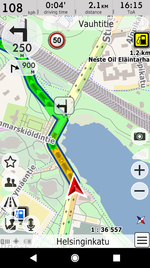

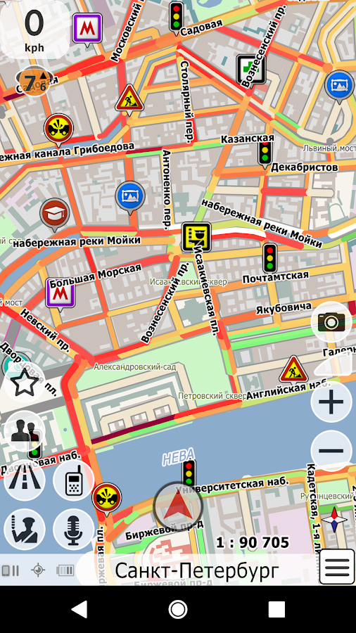
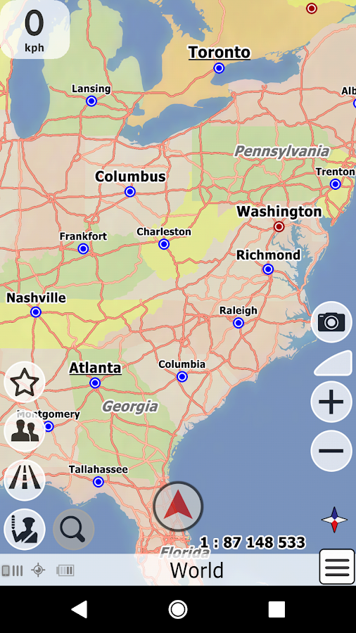
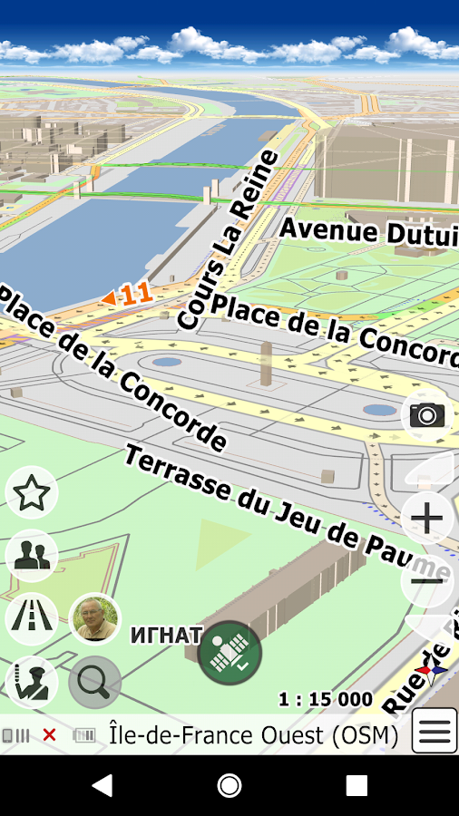


Description
App Information bGEO GPS Navigation
- App NamebGEO GPS Navigation
- Package Namenet.probki.bgeo
- UpdatedMay 13, 2023
- File SizeUndefined
- Requires AndroidAndroid 4.1
- Version12.0.279
- DeveloperGEOPHONE GROUP INTERNATIONAL Oy
- Installs500K+
- PriceFree
- Categoryinfo_outline</i></button></div>
- DeveloperRistiniementie 24, C11 02320 ESPOO FINLAND
- Google Play Link
bGEO GPS Navigation Version History
Select bGEO GPS Navigation Version :-
bGEO GPS Navigation 12.0.278 APK File
Publish Date: 2023 /3/26Requires Android: Android 4.1+ (Jelly Bean, API: 16)File Size: 40.7 MBTested on: Android 12L (Snow Cone v2, API: 32)File Sha1: cff2ccf68029cd62ddb6e4e05317ae5cbcc07327 -
bGEO GPS Navigation 9.7.890 APK File
Publish Date: 2017 /4/29Requires Android: Android 2.3+ (Gingerbread, API: 9)File Size: 47.8 MBTested on: Android 6.0 (Marshmallow, API: 23)File Sha1: 1bc078b3513a1d6531b54be47e17c0d06297ce2c -
bGEO GPS Navigation 9.6.858 APK File
Publish Date: 2017 /5/19Requires Android: Android 2.3+ (Gingerbread, API: 9)File Size: 47.8 MBTested on: Android 5.1 (Lollipop, API: 22)File Sha1: b2c917db0ffc084655951f55349d445ed381bc9b -
bGEO GPS Navigation 9.6.858 APK File
Publish Date: 2017 /5/8Requires Android: Android 2.3+ (Gingerbread, API: 9)File Size: 47.8 MBTested on: Android 5.1 (Lollipop, API: 22)File Sha1: b2c917db0ffc084655951f55349d445ed381bc9b -
bGEO GPS Navigation 9.6.858 APK File
Publish Date: 2017 /5/3Requires Android: Android 2.3+ (Gingerbread, API: 9)File Size: 47.8 MBTested on: Android 5.1 (Lollipop, API: 22)File Sha1: b2c917db0ffc084655951f55349d445ed381bc9b
GEOPHONE GROUP INTERNATIONAL Oy Show More...


Similar Apps Show More...


 3.7.22")
Navmii GPS World (Navfree) 3.7.22 APK
Navmii is a free navigation and traffic appfor drivers.Navmii combines FREE voice-guided navigation, live trafficinformation, local search, points of interest and driver scores.Offline maps stored locally, for use without an internetconnection. Over 24 million drivers use Navmii and our maps areavailable for more than 150 countries.• Real voice-guided navigation• Real-time traffic and road information• Works with GPS only – internet not needed• Offline and Online Address search• Driver Scoring• Local Place search (powered by TripAdvisor, Foursquare andWhat3Words)• Fast routing• Automatic rerouting• Search using Postcode/ City/ Street/ Points of interest• Heads-Up Display (HUD) – upgrade• Community map reporting• HD accurate maps• + Much, much moreWe have thousands of 5-STAR REVIEWS:- why buy a satnav when navmii does it all- unbeatable value and functionality- love, love this app!Navmii features on-board OpenStreetMap (OSM) maps, which are storedon your device and therefore you don’t need no data connection(unless of course you use the connected services). Use Navmiiabroad to avoid high roaming costs!We're always eager to hear about your experience of using Navmii.You can contact us anytime by email, on Twitter or Facebook usingthe details below:- Twitter: @NavmiiSupport- Email: [email protected] Facebook: www.facebook.com/navmiigpsNote: continued use of GPS running in the background candramatically decrease battery life.


GPS Essentials APK
The most complete GPS tool available:Navigate, manage waypoints, tracks, routes, build your owndashboard from 45 widgets.❧❧❧❧❧ Dashboard ❧❧❧❧❧Shows navigation values such as: Accuracy, Altitude, Speed,Battery, Bearing, Climb, Course, Date, Declination, Distance, ETA,Latitude, Longitude, Max Speed, Min Speed, Actual Speed, TrueSpeed, Sunrise, Sunset, Moonset, Moonrise, Moon Phase, Target,Time, TTG, Turn.❧❧❧❧❧ Compass ❧❧❧❧❧Show the orientation of the earth's magnetic field, shows anarbitrary tracking angle and the current target. Also a marineorienteering compass.❧❧❧❧❧ Tracks ❧❧❧❧❧Record tracks and view them on map. Export KML files and importinto Google Maps, Google Earth and others.❧❧❧❧❧ Routes ❧❧❧❧❧Manage routes and view them on map. Import KML files from GoogleMaps, Google Earth and others. Create turn-by-turn instructionsbetween waypoints.❧❧❧❧❧ Camera ❧❧❧❧❧A camera HUD (heads-up display) view to show your waypoints, takepictures and share them.❧❧❧❧❧ Map ❧❧❧❧❧A map to show your waypoints. Convert mail addresses of yourcontacts to waypoint so that they can be used within the app.Supports Google Maps, MapQuest, OpenStreetMap and others.Supports Google Maps v2: Indoor Maps, Traffic, Buildings, Satelliteand Terrain layers and map rotation.❧❧❧❧❧ Waypoints ❧❧❧❧❧A list of all your waypoints with export and import (KML, KMZ, GPXand LOC format).❧❧❧❧❧ Satellites ❧❧❧❧❧A sky view of the current positions that shows satellites inview.❧❧❧❧❧ Features ❧❧❧❧❧Supported position formats: UTM, MGRS, OSGB, Degree-Minute-Second,Degree-Minute-Fractions, Decimal, Mils. Supports over 230datums.Waypoints, routes and tracks can be exported as KML or GPX filesand sent by email or uploaded to Google Docs or DropBox.Please open the web page below for more info, send me emails forsupport. I CANNOT HELP IF YOU SIMPLY PLACE A COMMENT HERE.Purchase the "GPS Essentials Donation Plugin" on Android Market ifyou want to support development.The latest beta release is available athttp://www.gpsessentials.com for download. Try out the latestfeatures and help us improve GPS Essentials!If you are on Facebook, come and join GPS Essentials for the latestinfo: http://www.gpsessentials.comTHIS APP WILL SHOW ADVERTISING. IF YOU DON'T LIKE THIS, PLEASEREFRAIN FROM INSTALLING/UPDATING.GPS Essentials is not affiliated with any political party nor withany other organization mentioned in the ads, and it has noconnection with any economic interests. If you don't like the ads,please contact AdMob.WHAT ARE THE PERMISSIONS GOOD FOR?✓ Coarse/Fine location: To access network locations and GPS✓ Full internet access: To read map tiles, send bug reports✓ Modify/delete USB storage contents: To write waypoints, tracksand images onto the SD card✓ Read phone state and identity: To tag pictures with the device ID(can be switched off in settings)✓ Take pictures and videos: Camera HUD, take pictures✓ Your accounts: Required to run Google Maps v2


Navitel Navigator GPS & Maps v11.11.917 APK
Navitel Navigator is a precise offline GPSnavigation with free geosocial services and detailed maps of 64countries. Try popular navigation for 7 day free!______________________________* 20M DOWNLOADS WORLDWIDE ** TOP 5 NAVIGATION IN 12 COUNTRIES!*ADVANTAGES• Offline navigation. No Internet connection required for the useof the program and maps: No additional expenses on roaming ordependency on mobile connection.• Access to maps at any time: Maps are downloaded to the internalmemory of a device or an SD-card.• Map subscription: Map purchase for a limited period (1 year) withprices starting at 10.99$.SPECIAL FEATURES• 3 alternative routes with display of time and distance for eachof them.• Navitel.Traffic. Information on all traffic jams in the coveredarea, available in real time.• Navitel.Friends/Cloud. Messaging with friends, tracking theirlocation and routing towards them. Program settings and waypointsare stored in the NAVITEL cloud storage. Log in toNavitel.Friends/Cloud service using your social network profile(Facebook, Twitter, VKontakte)• Navitel.Weather. Weather forecast information for the next threedays anywhere in the world.• Dynamic POI. Fuel prices, movie showtimes and other usefulinformation.• Navitel.Events. Road accidents, road works, speed cams and otherevents marked on the map by users.• Navitel.SMS. Message exchange with friends whilenavigating.• SpeedCam warnings. Information on radars, video recording camerasand speed bumps.• 3D Mapping. Three-dimensional maps with texture and number offloors support.• 3D Road interchanges. Displaying multilevel road interchanges in3D mode.• Line Assist. Route calculations taking multilane traffic intoaccount and visual prompts while following the route.• Multilanguage support. Support of the interface and voice promptsin multiple languages.• Turn-by-turn voice guidance. Voice guidance while moving alongthe route, warnings on battery charge and connection to thesatellites.• Dashboard. More than 100 different gauges: time, speed, weatherand other parameters.• Fast route calculation. Instant calculation and routing of anylength and complexity.• Unlimited number of waypoints for routing. Easy routing withunlimited number of waypoints.• Customizable user interface. Ability to adapt the programinterface and map display mode for your own needs.• Multitouch support. Quick access to map scaling and rotationfunctions via the multitouch input.• Purchase through the program menu.• GPS / GLONASS.OFFLINE NAVIGATION MAPS FOR PURCHASEAlbania, Andorra, Armenia, Austria, Azerbaijan, Cilumbia, Belarus,Belgium, Bosnia and Herzegovina, Brazil, Bulgaria, Croatia, Cyprus,Czech Republic, Denmark, Estonia, Finland, France, Georgia,Germany, Gibraltar, Greece, Hungary, Iran, Iceland, Isle of Man,Italy, Kazakhstan, Kyrgyzstan, Latvia, Liechtenstein, Lithuania,Luxembourg, Macedonia, Maldives, Malta, Mexico, Moldova, Monaco,Montenegro, Netherlands, Norway, Peru, Poland, Portugal,Philippines, Romania, Russia, San Marino, Serbia, Slovakia,Slovenia, Spain, Sweden, Switzerland, Tajikistan, Turkey, Ukraine,United Kingdom, Uzbekistan, Vatican.If you have any questions contact us: [email protected]. We willbe happy to help you.CONNECT WITH USFacebook: http://www.facebook.com/NavitelWorldTwitter: https://twitter.com/NavitelNInstagram: http://instagram.com/navitel_en


